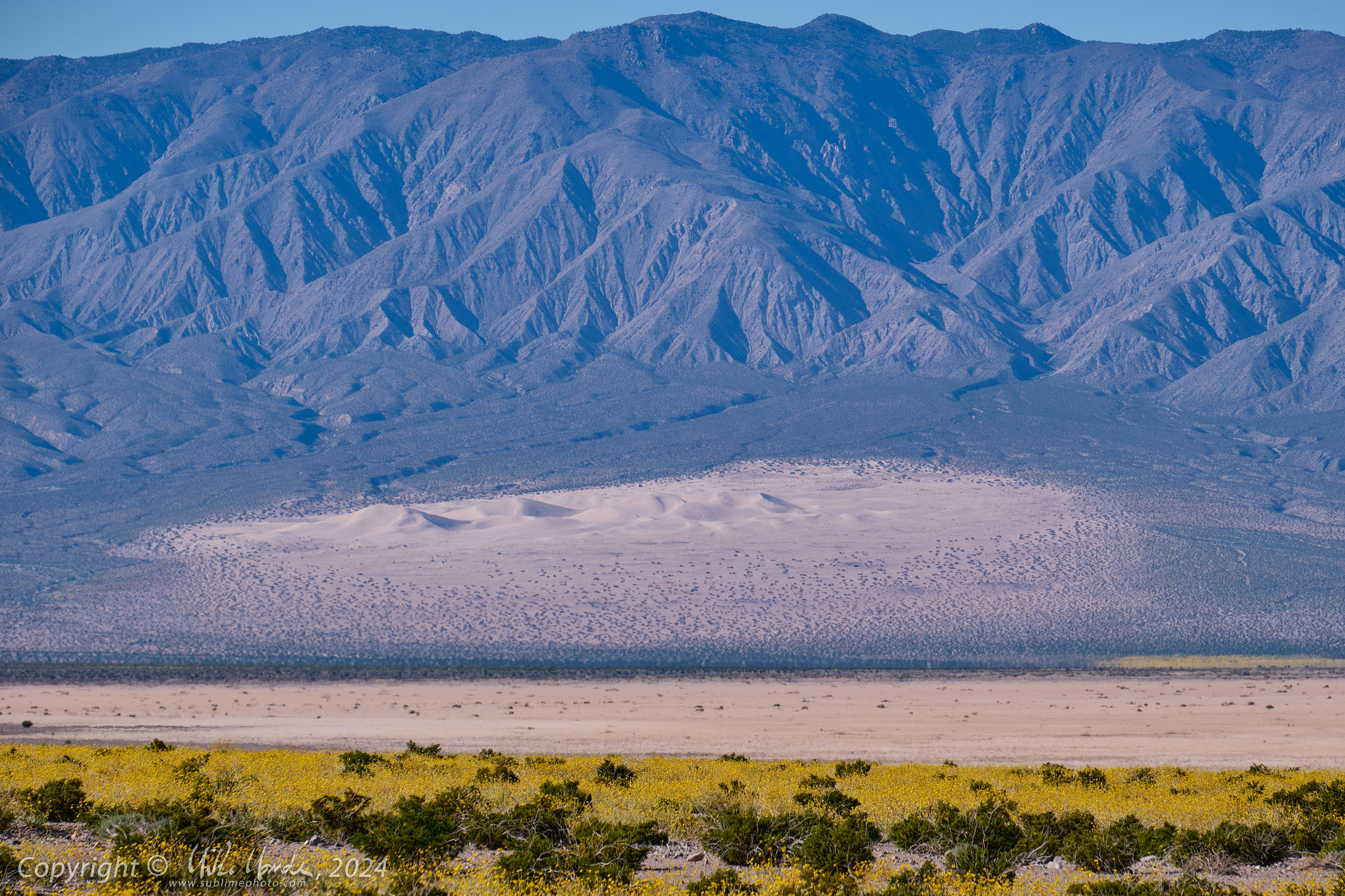
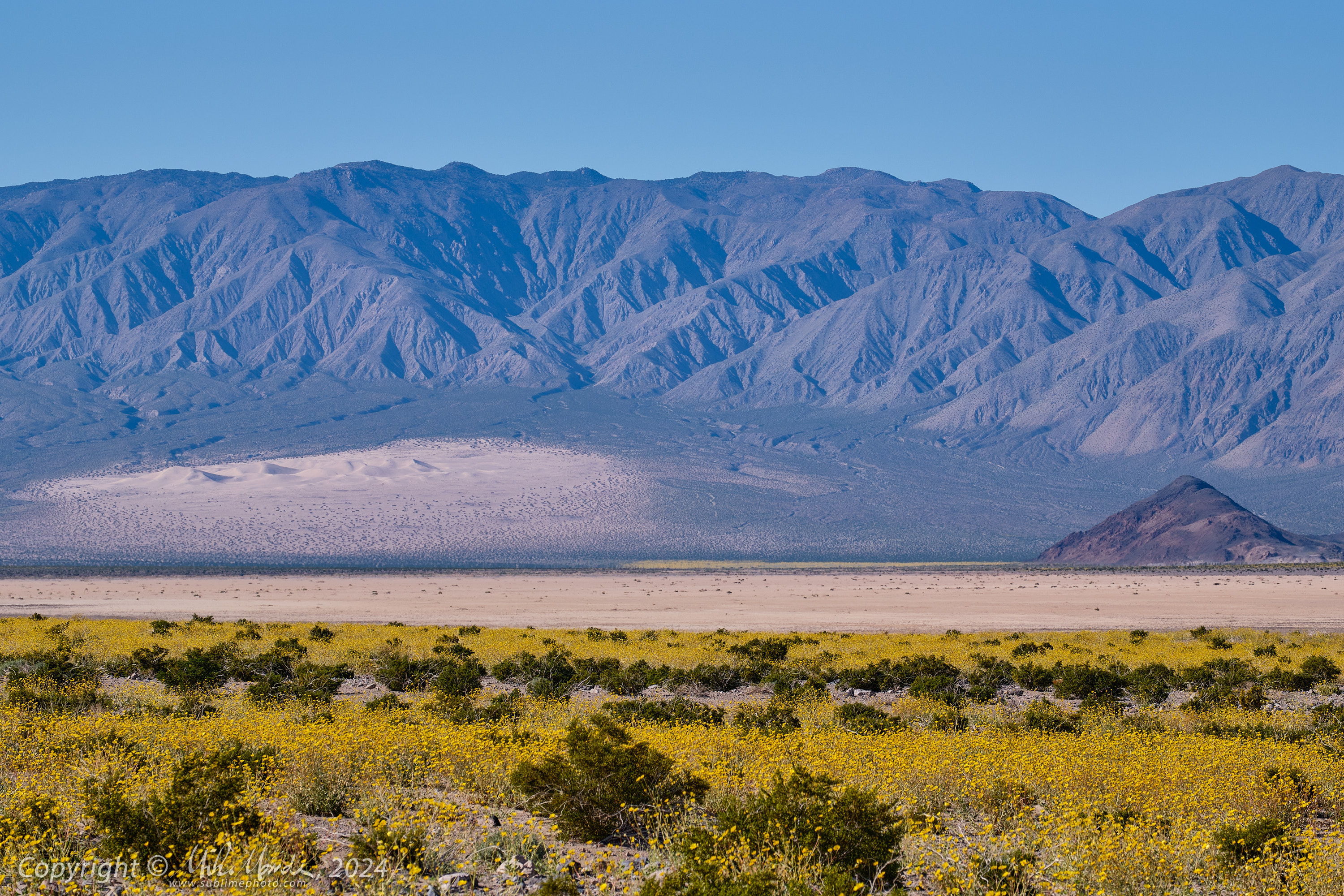
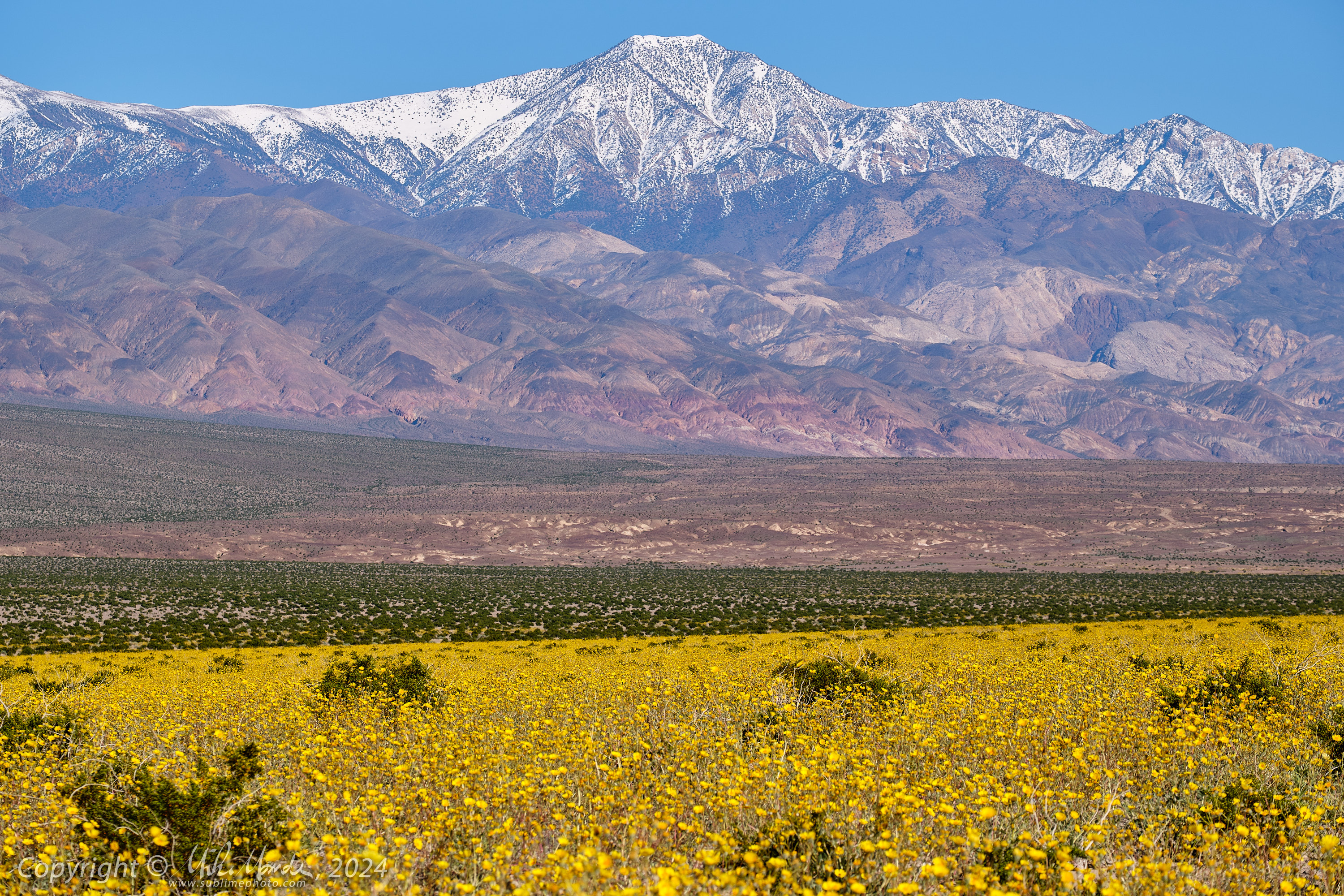
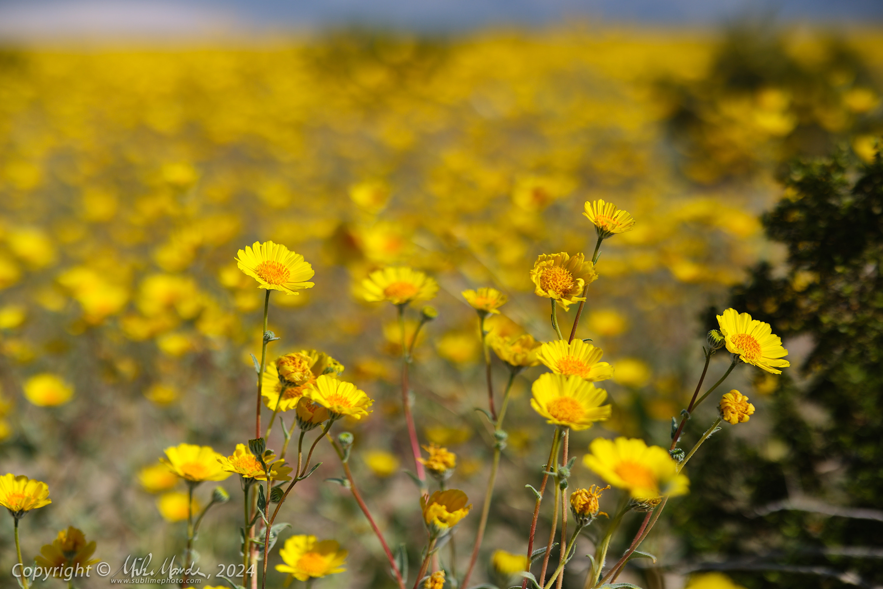
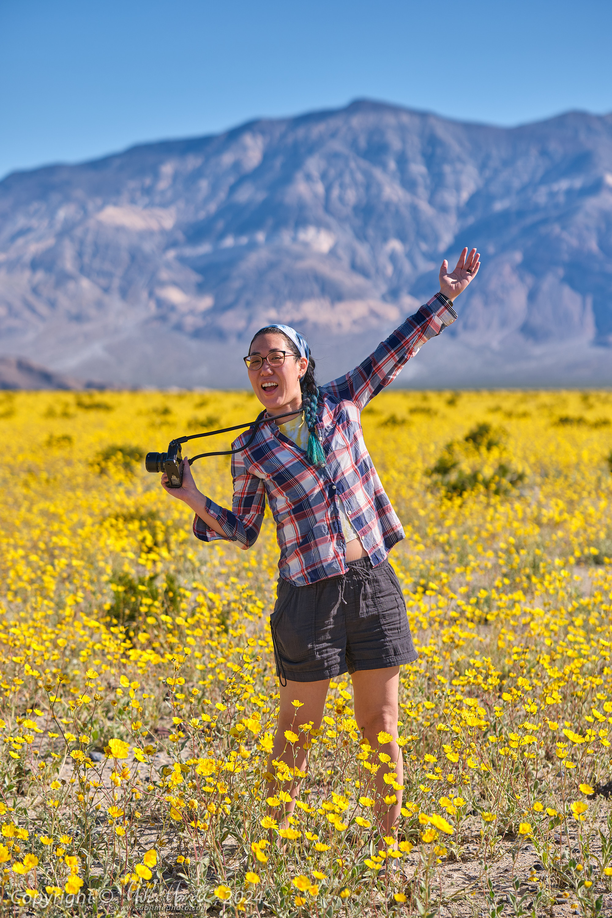
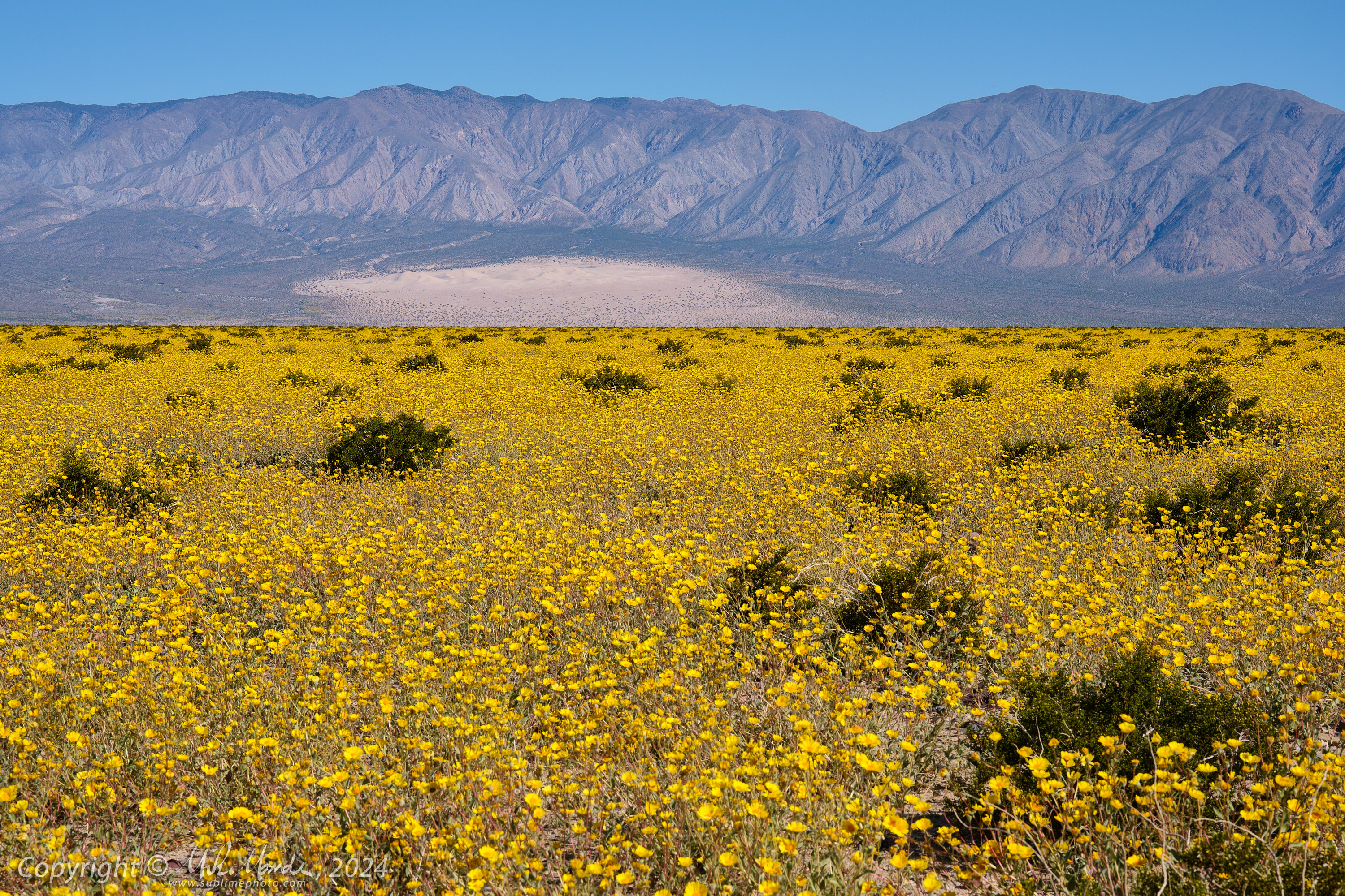
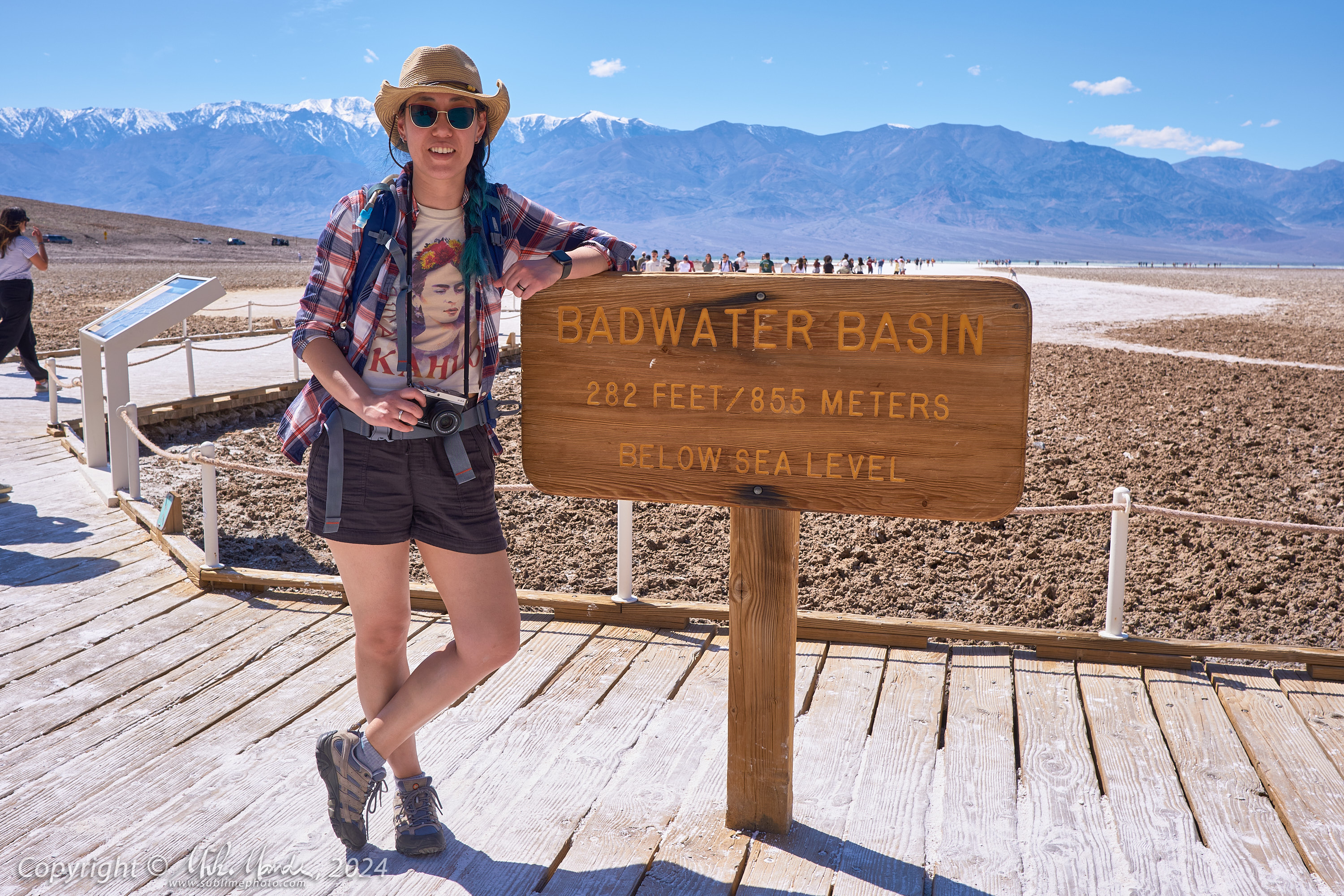
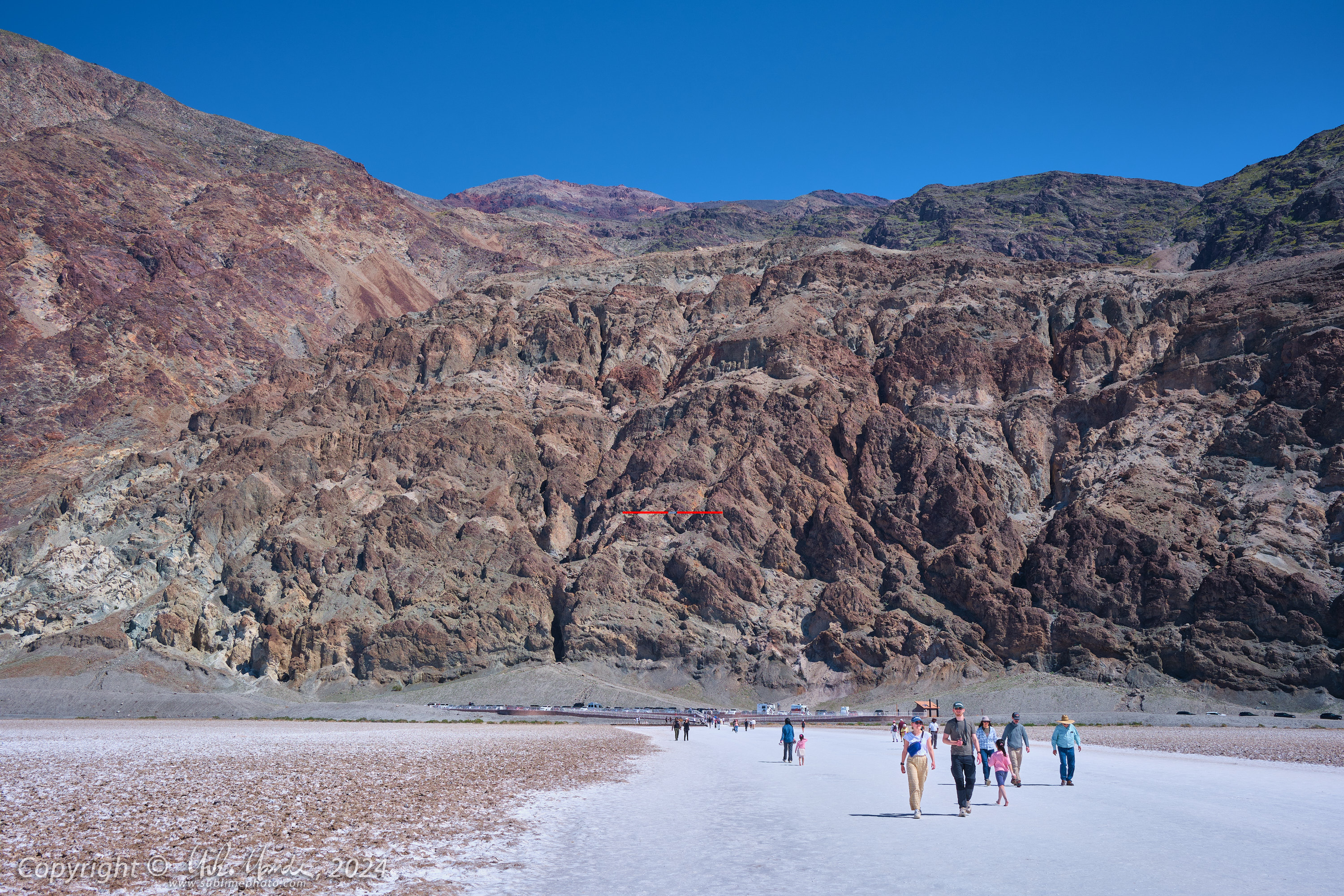
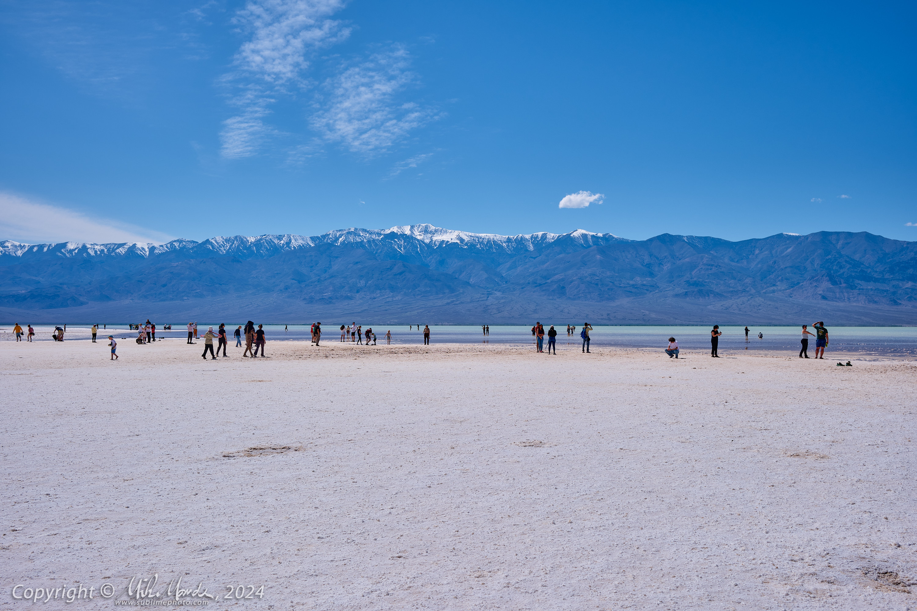
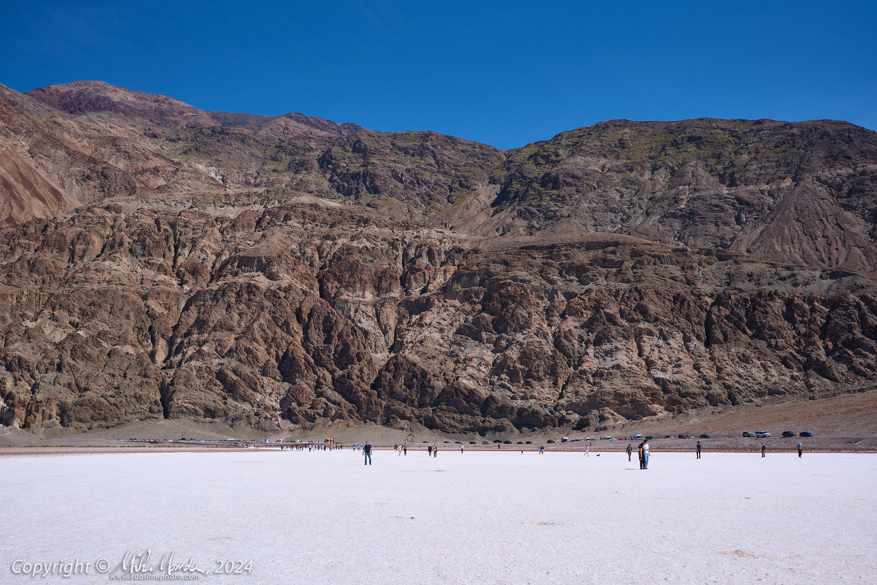
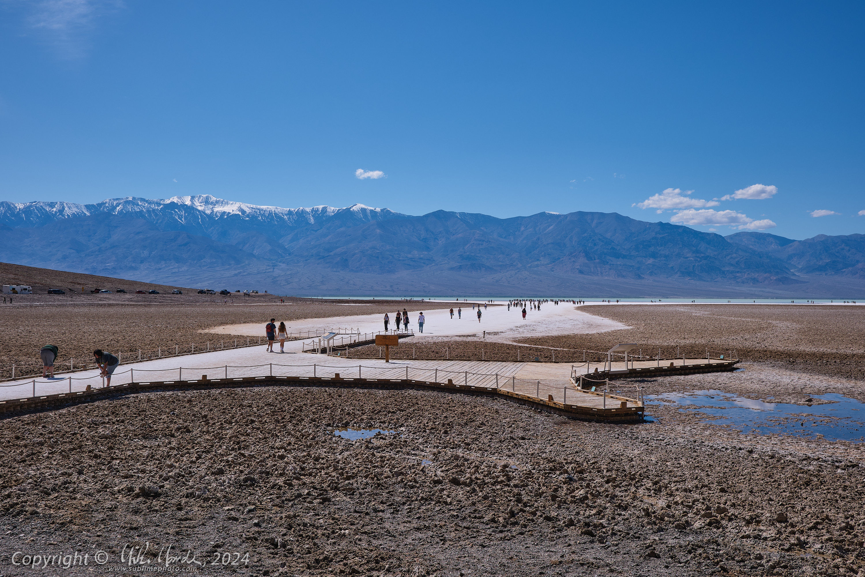
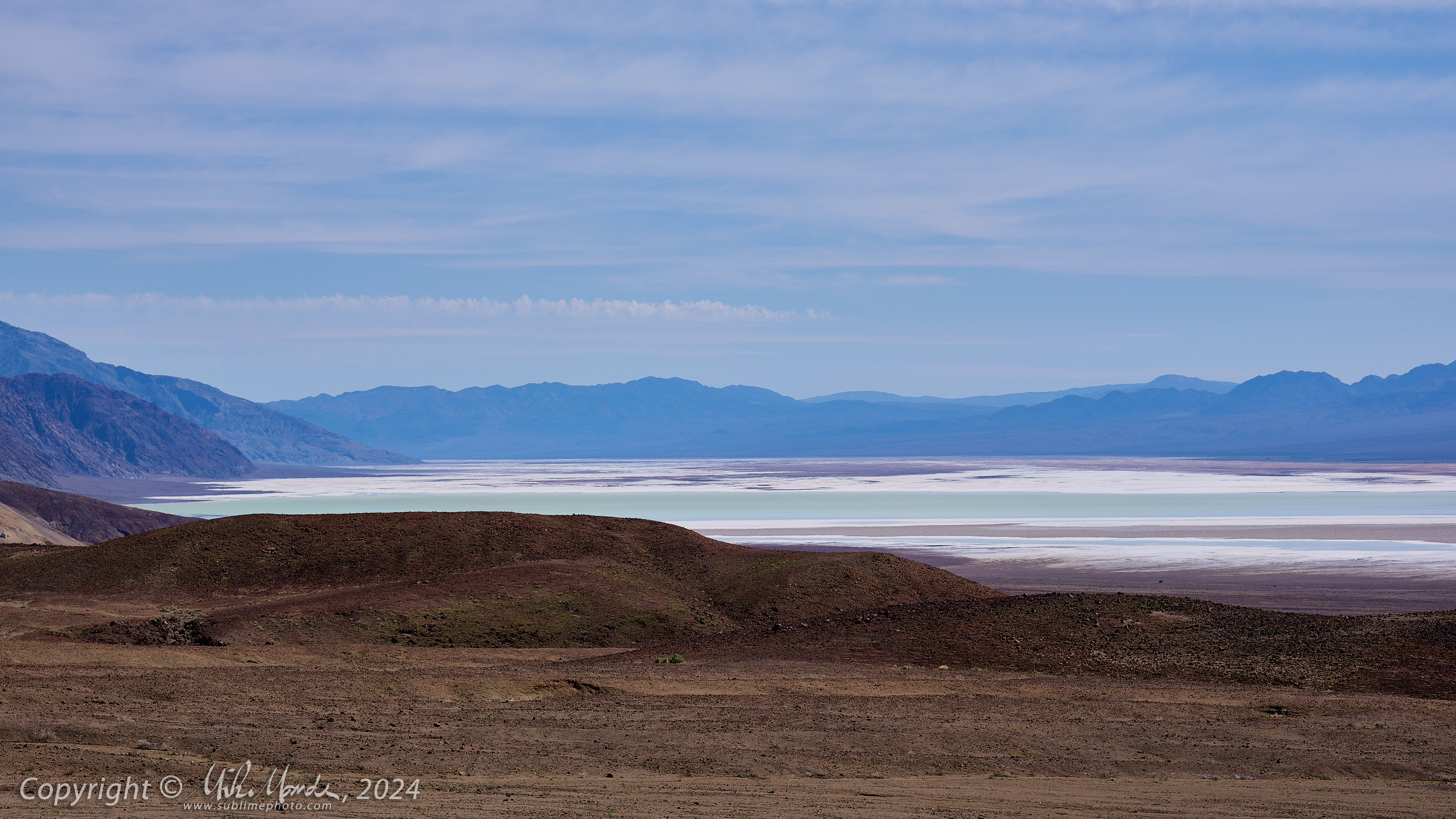
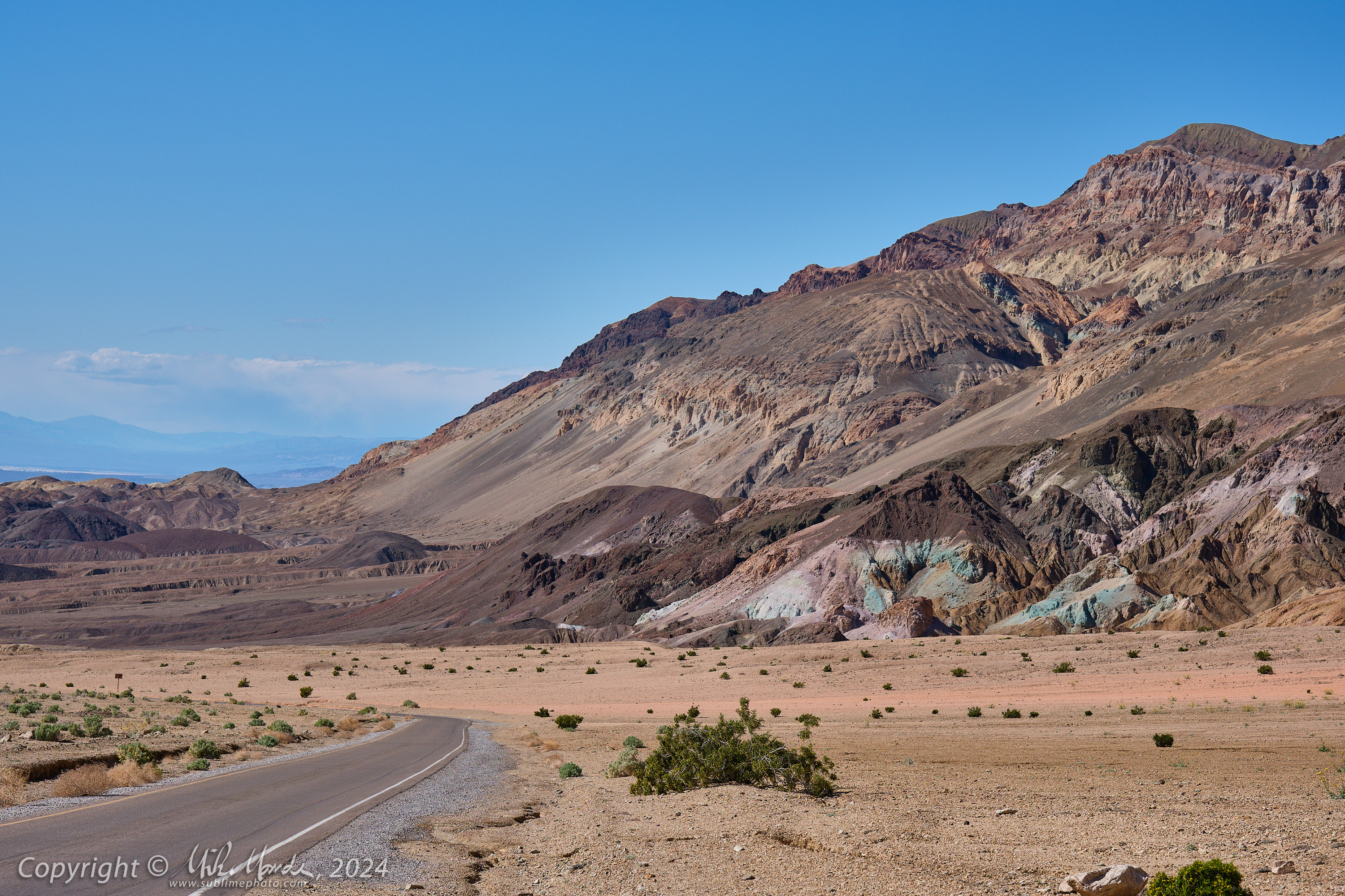
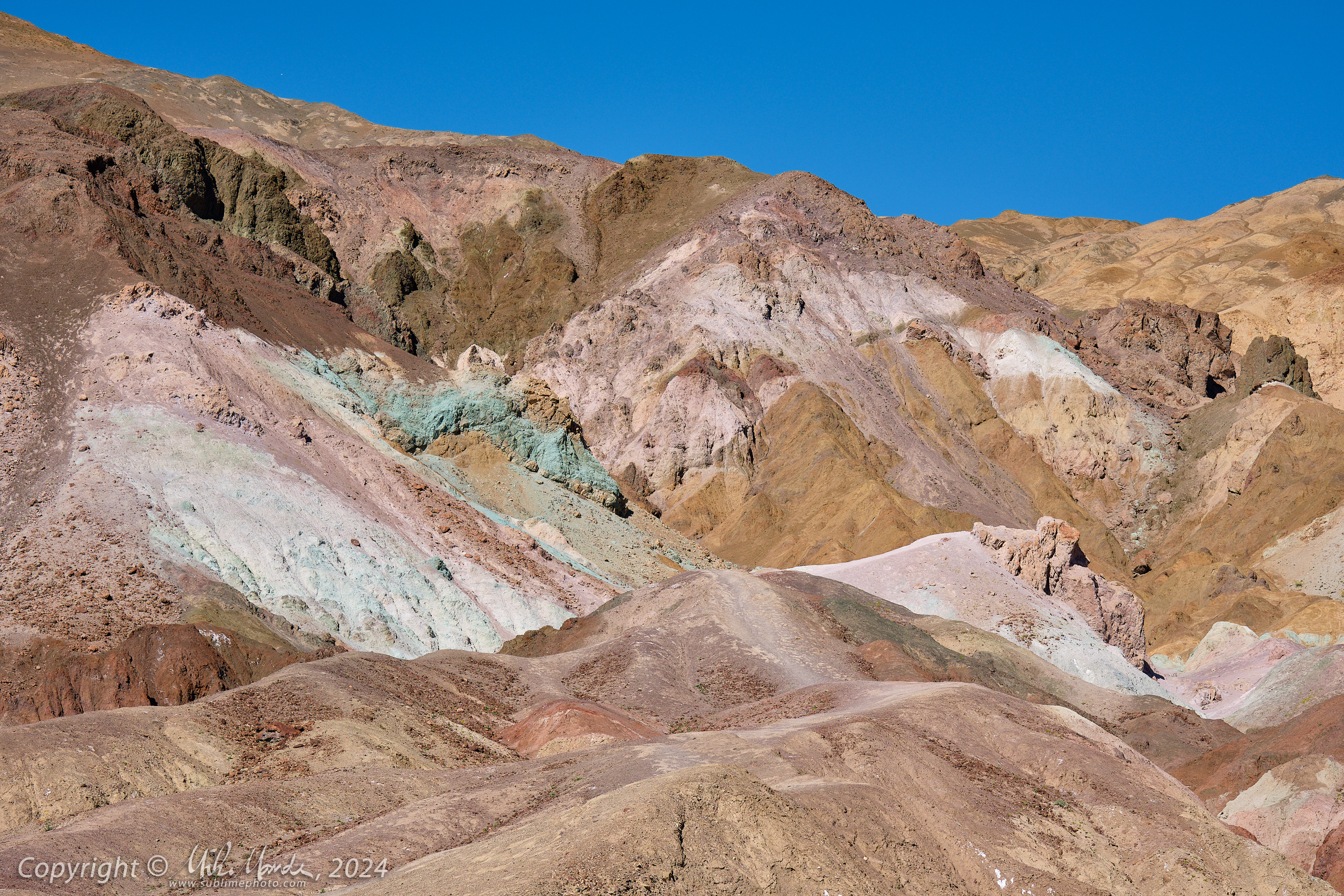
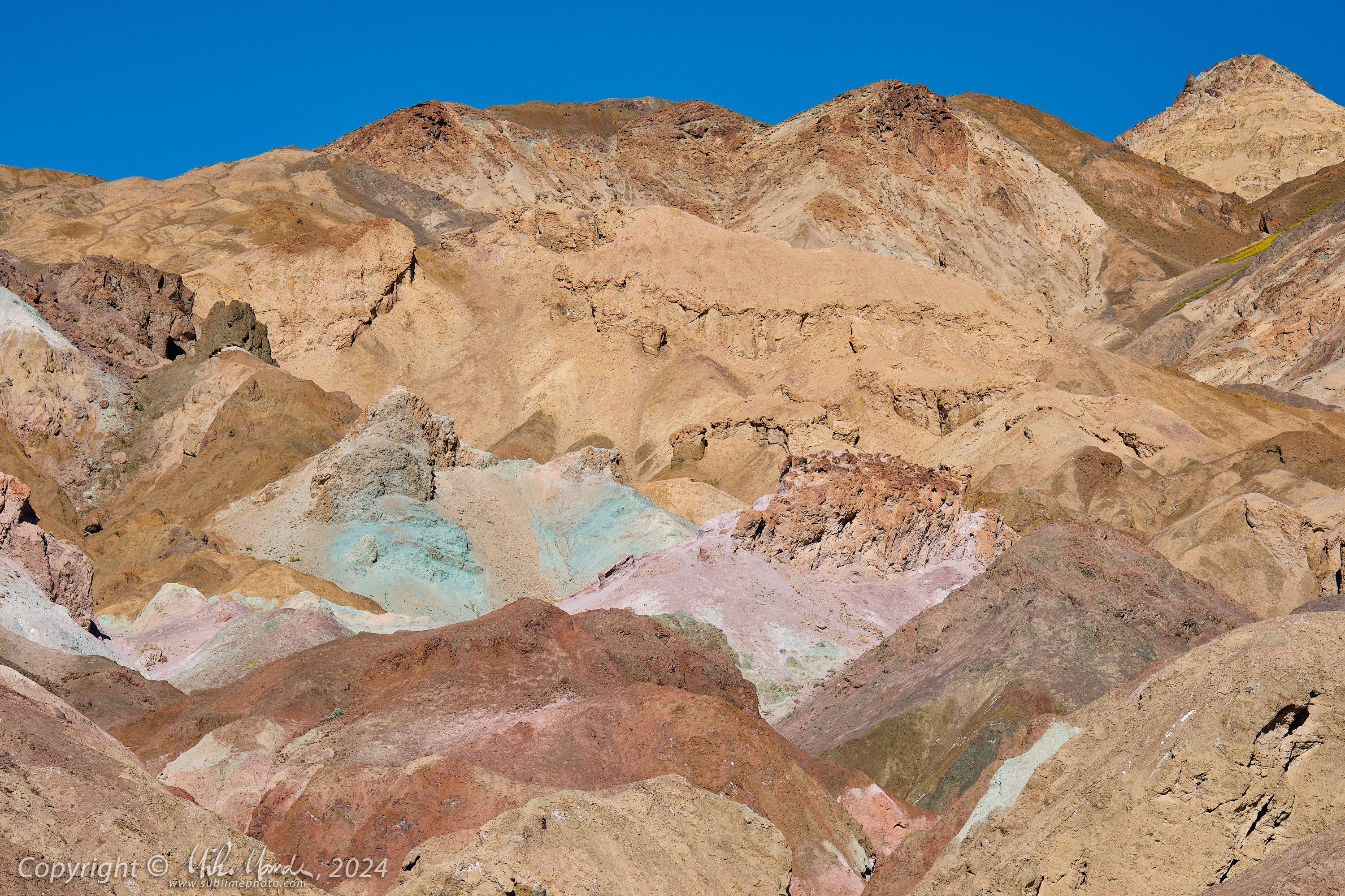
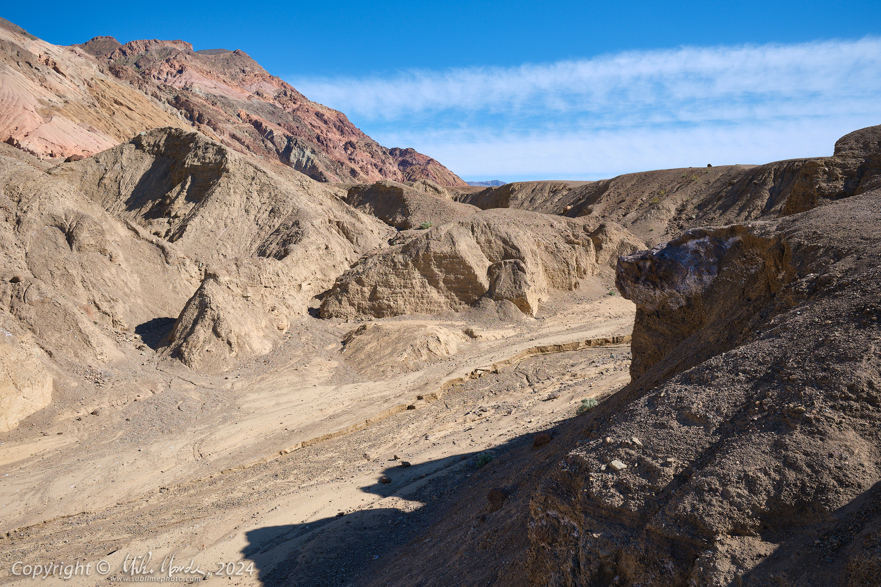
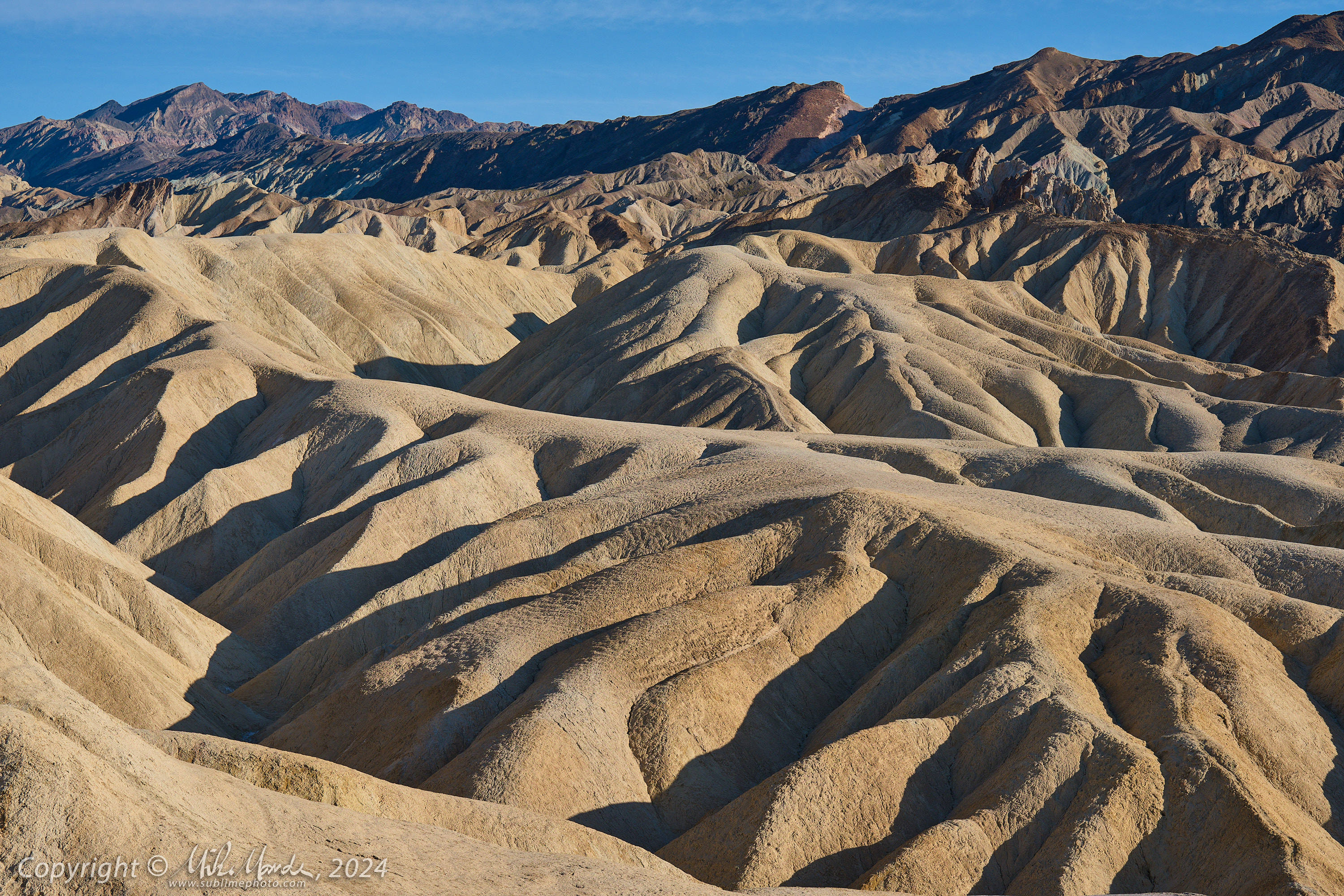
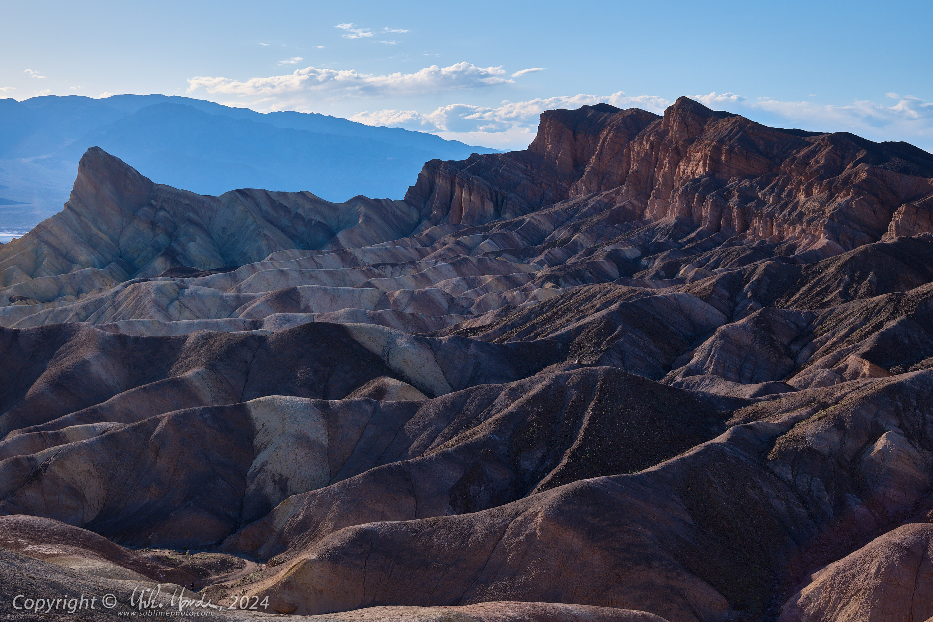
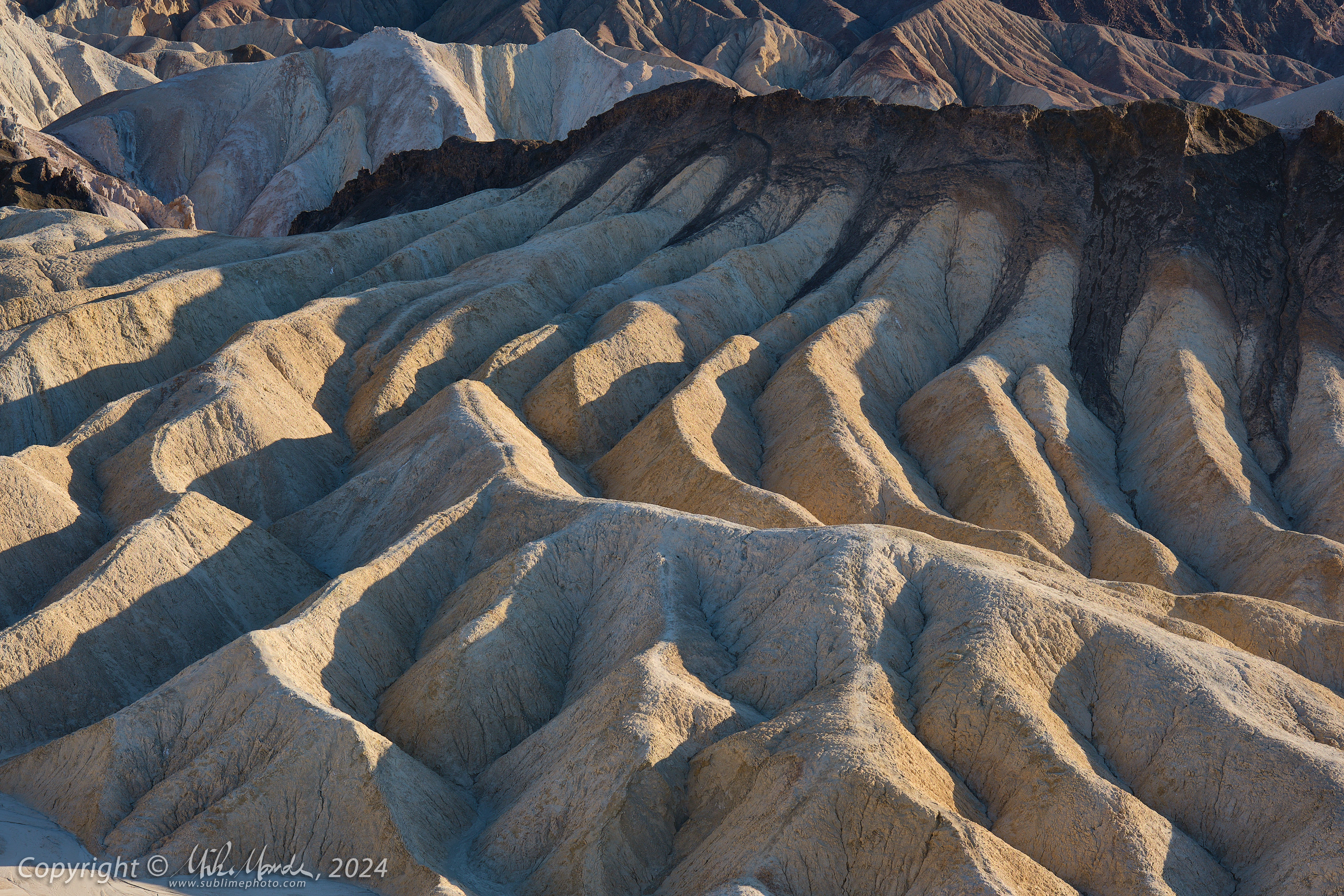
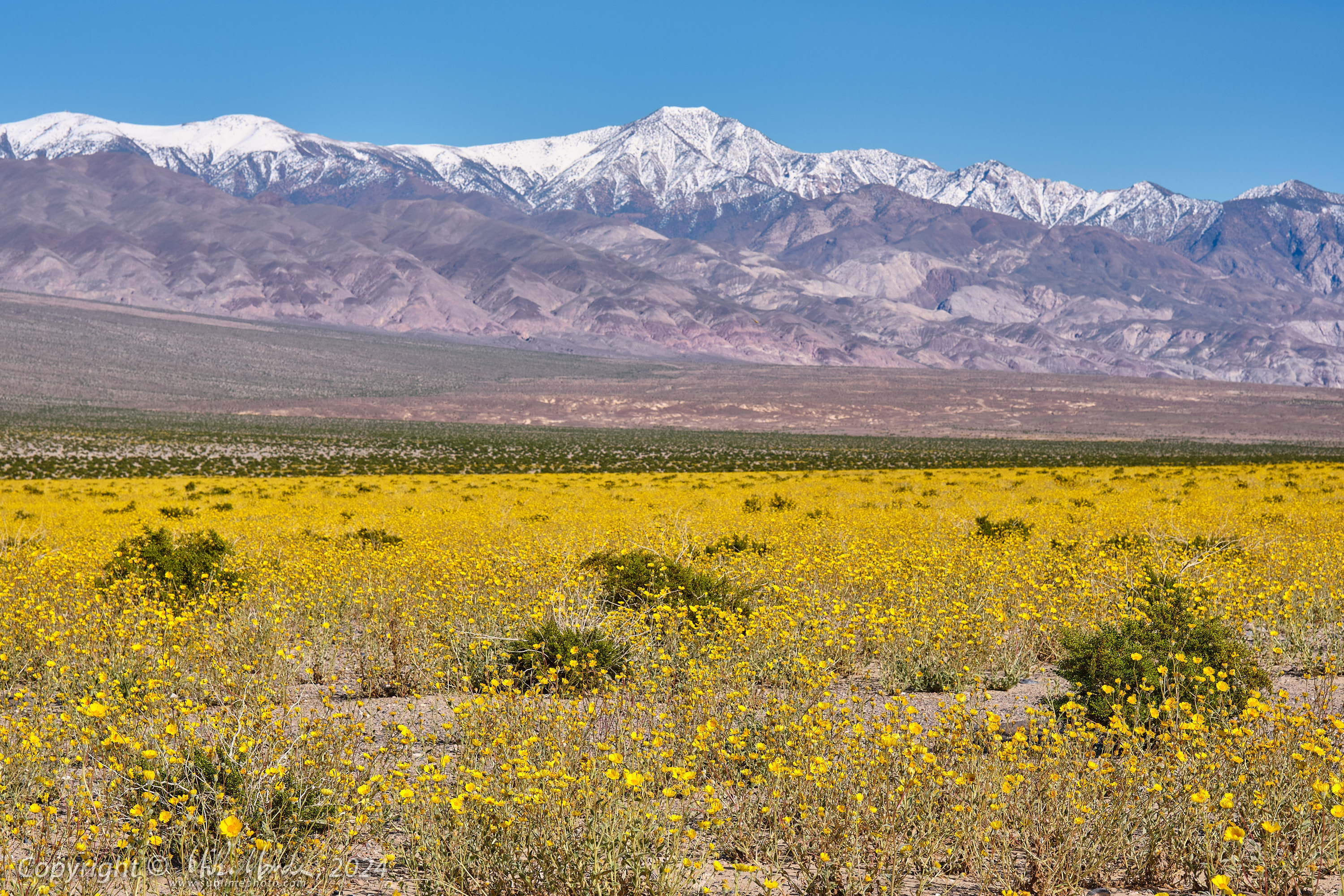
The first photos (1-7) were taken in the Panamint Valley where there was a wonderful wildflower bloom with massive fields of yellow. Photos 8-12 were taken at Badwater, the lowest point in the US. For photo 9, I've added red lines on either side of the "sea-level" plaque up the mountain to make it easier to see. Photos 13-17 were taken along the colourful Artists Palette drive, photos 18-22 were taken at Zabriskie Point and the remainder at night were taken at the Inyo Mine ruins.
GPS location data was recorded while walking/hiking with an Apple Watch, and is displayed via Google Maps in a new browser window when you click the globe icon at the upper left corner of each thumbnail.
1
XT5_SW24_00659-c1
2
XT5_SW24_00662-c1
3
XT5_SW24_00663-c1
4
XT5_SW24_00665-c1
5
XT5_SW24_00992-c1
6
XT5_SW24_01002-c1
7
XT5_SW24_01004-c1
8
XT5_SW24_00674-c1
9
XT5_SW24_00675-c1
10
XT5_SW24_00678-c1
11
XT5_SW24_00689-c1
12
XT5_SW24_00690-c1
13
XT5_SW24_00694-c1
14
XT5_SW24_00711-c1
15
XT5_SW24_00729-c1
16
XT5_SW24_00733-c1
18
XT5_SW24_00793-c1
19
XT5_SW24_00800-c1
20
XT5_SW24_00808-c1
21
XT5_SW24_00809-c1
22
XT5_SW24_00812-c1
24
XT5_SW24_00835-c1